Are you a property professional?Get qualified leads from motivated homeowners.
Get started17 Chestnut Avenue, Bournemouth, BH6 3SP
About 17 Chestnut Avenue
A plain-English summary derived from public records, EPC certificates, sold prices and local data.
17 Chestnut Avenue is a nine-bedroom detached house in Bournemouth (BH6 3SP). It has a recorded floor area of 267 m² (around 2874 sq ft), construction records dating it to 1900-1929 and council tax band F. The latest certificate (July 2024) shows an E (score 46), well below the UK norm with real room to improve. The recommended improvements would lift it to C (score 74), a 2-band jump.
At 267 m² the property is well over the postcode median (70 m² across 26 EPCs), placing it in the larger end of the local stock. 9 bedrooms is on the larger side for this postcode, where 4 is the typical count. Today's modelled estimate of £806,000 is 10.4% above the 2024 sale price. On a £-per-square-foot basis, the last sale (£254/sq ft) was about 61.9% above the typical sold price in the postcode. Sold October 2024 for £730,000.
What this property has
Pulled from EPC certificates, claim submissions and our property model. Empty categories are hidden — we only show what's known.
Inside
- Bedrooms9
- Bathrooms2
Energy performance
Every EPC certificate filed against this property — current rating, recorded improvements, and where there's headroom to reach a higher band.
17 Chestnut Avenue's carbon output runs well above what efficient homes in the postcode produce.
EPC Rating
A
B
C
D
E
E46
F
G
Main Heating
Gas
Main Fuel
Gas
Hot Water
Good
Windows
Average
CO2 Emissions
14.0 t/year
Occupancy
Owner Occupied
Sales history & valuation
Recorded transactions, our model's current estimate, and a quick read on what neighbouring properties have sold for.
17 Chestnut Avenue valuation sits well clear of the typical sold price in this postcode.
Current estimate
See how we calculated this£806,000
Modelled from EPC, postcode comparables.
Last sold (2024)
£730,000
Recorded with HM Land Registry.
Sales timeline
Launch offer · 33% off
The complete analysis of 17 Chestnut Avenue, Bournemouth, BH6 3SP
Everything we know about this property, compiled into one in-depth, downloadable report.
Detailed AI analysis
An AI-written breakdown of everything that matters
Versus other Chestnut Avenue homes
Four headline reads against 8 similar houses on this street, drawn from the latest EPC and Land Registry data.
On years held, 17 Chestnut Avenue runs well behind the street norm.
Price per m²
£2,734
Street avg £2,803
Floor Area
267 m²
Street avg 173 m²
Habitable Rooms
13 rooms
Similar properties nearby
A handful of close matches in the same postcode area, ranked by likeness on bedrooms, type and floor area.
The neighbourhood at a glance
A condensed read of the local area. Each tile links through to the full breakdown on the Bournemouth district page.
Daytime road noise here sits well below conversation level — a quiet pocket of the postcode.
Crime
3/mo
Steady year-on-year across the wider district.
Nearest stop
0.1 km
Road noise across the postcode
Modelled day and night-time noise levels around BH6 3SP from Defra's strategic mapping. The pin marks this postcode's centroid.
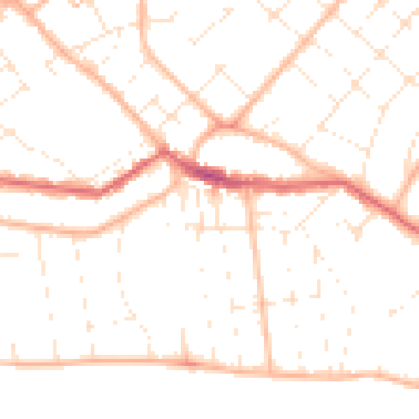
Daytime· 07:00 – 23:00
48.8dB

Everything within walking distance
Schools, transport stops and scenic spots near this property — 48 points of interest in total.
Common questions
The questions buyers, sellers and homeowners most often ask about 17 Chestnut Avenue, Bournemouth, BH6 3SP. Each answer is also embedded as structured data for search engines.
