Are you a property professional?Get qualified leads from motivated homeowners.
Get started12 Elmsway, Bournemouth, BH6 3HU
3 sales on record
About 12 Elmsway
A plain-English summary derived from public records, EPC certificates, sold prices and local data.
12 Elmsway is a three-bedroom detached house in Bournemouth (BH6 3HU). It has a recorded floor area of 137 m² (around 1478 sq ft), construction records dating it to 1930-1949 and council tax band D. The latest certificate (March 2009) shows a D (score 60), on the cusp of jumping into the C band. The latest certificate is from March 2009, so improvements made since then won't be reflected.
Untraded for 17 years, with the last transfer in June 2009. That sale fell during the post-crash dip, which often skews comparisons against later neighbouring sales. Sale prices here have outpaced England HPI: 8.7% per year against 0% for the wider region. Today's modelled estimate of £608,000 sits 87.1% above the 2009 sale of £325,000.
What this property has
Pulled from EPC certificates, claim submissions and our property model. Empty categories are hidden — we only show what's known.
Inside
- Bedrooms3
Energy performance
Every EPC certificate filed against this property — current rating, recorded improvements, and where there's headroom to reach a higher band.
12 Elmsway's EPC is over a decade old — improvements since won't be reflected.
EPC Expired
This certificate is over 10 years old and is no longer valid.Expired 31 Mar 2019
Sales history & valuation
Recorded transactions, our model's current estimate, and a quick read on what neighbouring properties have sold for.
Sale price has at least doubled since 1997.
Current estimate
See how we calculated this£608,000
Modelled from EPC, postcode comparables and a sale-price growth of 8.7% per year over 12 years.
Last sold (2009)
£325,000
Growth on file: 8.7% per year over 12 years.
Sales timeline
Launch offer · 33% off
The complete analysis of 12 Elmsway, Bournemouth, BH6 3HU
Everything we know about this property, compiled into one in-depth, downloadable report.
Detailed AI analysis
An AI-written breakdown of everything that matters
Versus other Elmsway homes
Four headline reads against 18 similar houses on this street, drawn from the latest EPC and Land Registry data.
On years held, 12 Elmsway stands well clear of the street.
Price per m²
£2,367
Street avg £3,754
Floor Area
137 m²
Street avg 120 m²
Habitable Rooms
7 rooms
Street avg 5 rooms
Similar properties nearby
A handful of close matches in the same postcode area, ranked by likeness on bedrooms, type and floor area.
The neighbourhood at a glance
A condensed read of the local area. Each tile links through to the full breakdown on the Bournemouth district page.
Daytime road noise here sits well below conversation level — a quiet pocket of the postcode.
Crime
3/mo
Steady year-on-year across the wider district.
Nearest stop
0.4 km
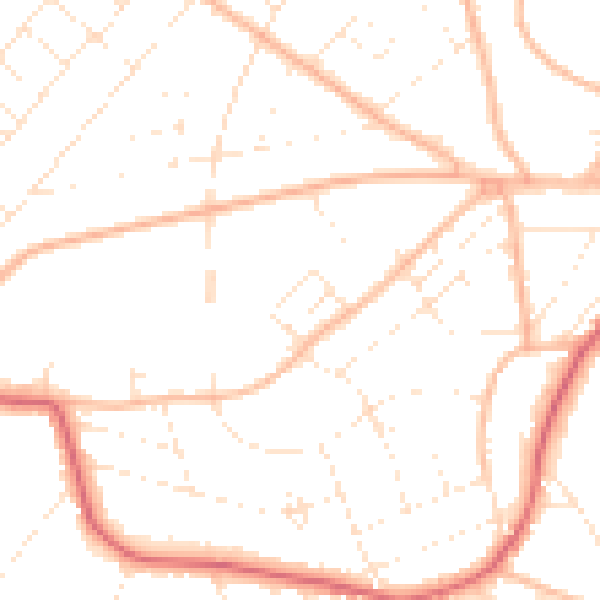
Road noise across the postcode
Modelled day and night-time noise levels around BH6 3HU from Defra's strategic mapping. The pin marks this postcode's centroid.
Daytime· 07:00 – 23:00
49.2dB

Everything within walking distance
Schools, transport stops and scenic spots near this property — 47 points of interest in total.
Common questions
The questions buyers, sellers and homeowners most often ask about 12 Elmsway, Bournemouth, BH6 3HU. Each answer is also embedded as structured data for search engines.
