Are you a property professional?Get qualified leads from motivated homeowners.
Get started800 Huddersfield Road, Dewsbury, WF13 3JA
1 planning record
About 800 Huddersfield Road
A plain-English summary derived from public records, EPC certificates, sold prices and local data.
800 Huddersfield Road is an end-of-terrace house in Dewsbury (WF13 3JA). It has a recorded floor area of 237 m² (around 2551 sq ft), construction records dating it to 1900-1929 and council tax band B. The latest certificate (June 2014) shows an E (score 53), well below the UK norm with real room to improve. The recommended improvements would lift it to C (score 75), a 2-band jump. The latest certificate is from June 2014, so improvements made since then won't be reflected.
Untraded for 19 years, with the last transfer in June 2007. That sale landed at the peak of the pre-credit-crunch market, which is a useful reference point when interpreting the price. At 237 m² the property is well over the postcode median (45 m² across 6 EPCs), placing it in the larger end of the local stock. It lags the bulk of the postcode on energy efficiency (less efficient than 83% of similar EPCs). Sale prices here have lagged England HPI: -3.2% per year against 0% for the wider region. Today's modelled estimate of £196,000 is 40% above the 2007 sale price. One historical planning record sits against the property in 2018.
Energy performance
Every EPC certificate filed against this property — current rating, recorded improvements, and where there's headroom to reach a higher band.
800 Huddersfield Road's carbon output runs well above what efficient homes in the postcode produce.
EPC Expired
This certificate is over 10 years old and is no longer valid.Expired 02 Jun 2024
Planning history
Applications and permits filed against 800 Huddersfield Road, Dewsbury, WF13 3JA, sourced from the PlanIt planning register.
- Jun 2018FullGranted
Formation of vehiclular access
Sales history & valuation
Recorded transactions, our model's current estimate, and a quick read on what neighbouring properties have sold for.
Latest sale on 800 Huddersfield Road was the highest on Land Registry record across the postcode.
Current estimate
See how we calculated this£196,000
Modelled from EPC, postcode comparables and a sale-price growth of -3.2% per year over 2 years.
Last sold (2007)
£140,000
Growth on file: -3.2% per year over 2 years.
Sales timeline
Versus other Huddersfield Road homes
Four headline reads against 6 similar houses on this street, drawn from the latest EPC and Land Registry data.
Floor Area for 800 Huddersfield Road runs comfortably ahead of the street norm.
EPC Rating
53 (E)
Street avg 62 (D)
Floor Area
237 m²
Street avg 58 m²
CO₂ Emissions
12.0 t/year
Similar properties nearby
A handful of close matches in the same postcode area, ranked by likeness on bedrooms, type and floor area.
The neighbourhood at a glance
A condensed read of the local area. Each tile links through to the full breakdown on the Dewsbury district page.
Rail-style transport is unusually close for this postcode.
Crime
6/mo
Steady year-on-year across the wider district.
Nearest stop
0.1 km
Fir Parade — bus stop.
Road noise across the postcode
Modelled day and night-time noise levels around WF13 3JA from Defra's strategic mapping. The pin marks this postcode's centroid.
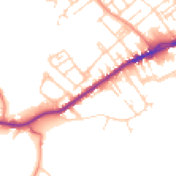
Daytime· 07:00 – 23:00
49.0dB

Everything within walking distance
Schools, transport stops and scenic spots near this property — 51 points of interest in total.
Beautiful places to visit nearby
Curated scenic spots within reach of this postcode, served by Beautifulplaces.ai. Photography and tagging come from their open dataset.
Common questions
The questions buyers, sellers and homeowners most often ask about 800 Huddersfield Road, Dewsbury, WF13 3JA. Each answer is also embedded as structured data for search engines.