Are you a property professional?Get qualified leads from motivated homeowners.
Get started23 Ashbourne Drive, Newcastle, ST5 6RL
Notable views
About 23 Ashbourne Drive
A plain-English summary derived from public records, EPC certificates, sold prices and local data.
23 Ashbourne Drive is a three-bedroom semi-detached house in Newcastle (ST5 6RL). It has a recorded floor area of 72 m² (around 775 sq ft), construction records dating it to 1950-1966 and council tax band B. The latest certificate (April 2012) shows a C (score 77), near the top of the C band. When first surveyed in June 2009 the rating was E, the property has climbed 2 bands since. Between certificates, wall efficiency went from Poor to Good, roof efficiency went from Poor to Good and main heating went from Average to Good. The recommended improvements would lift it to A (score 95), a 2-band jump. The latest certificate is from April 2012, so improvements made since then won't be reflected. Other recorded features include notable views.
Sale prices here have outpaced England HPI: 3.2% per year against 0% for the wider region. Today's modelled estimate of £219,000 is 28.9% above the 2021 sale price. On a £-per-square-foot basis, the last sale (£219/sq ft) was about 35.2% above the typical sold price in the postcode. Last sale on file: £169,950 in February 2021. That sale was during the post-pandemic price surge, when transactions cleared materially above pre-2020 trend.
What this property has
Pulled from EPC certificates, claim submissions and our property model. Empty categories are hidden — we only show what's known.
Inside
- Bedrooms3
- Bathrooms1
- Open-plan layoutYes
- Dining roomYes
Energy performance
Every EPC certificate filed against this property — current rating, recorded improvements, and where there's headroom to reach a higher band.
Recommended upgrades on file would lift this property by multiple EPC bands.
EPC Expired
This certificate is over 10 years old and is no longer valid.Expired 20 Apr 2022
Sales history & valuation
Recorded transactions, our model's current estimate, and a quick read on what neighbouring properties have sold for.
The latest sale landed in the post-pandemic price surge — useful context when reading the figure.
Current estimate
See how we calculated this£219,000
Modelled from EPC, postcode comparables and a sale-price growth of 3.2% per year over 12 years.
Last sold (2021)
£169,950
Growth on file: 3.2% per year over 12 years.
Sales timeline
Versus other Ashbourne Drive homes
Four headline reads against 37 similar houses on this street, drawn from the latest EPC and Land Registry data.
On epc rating, 23 Ashbourne Drive stands well clear of the street.
Price per m²
£2,360
Street avg £1,929
Floor Area
72 m²
Street avg 82 m²
Habitable Rooms
4 rooms
Street avg 5 rooms
Similar properties nearby
A handful of close matches in the same postcode area, ranked by likeness on bedrooms, type and floor area.
The neighbourhood at a glance
A condensed read of the local area. Each tile links through to the full breakdown on the Newcastle district page.
Daytime road noise here sits well below conversation level — a quiet pocket of the postcode.
Crime
3/mo
Steady year-on-year across the wider district.
Nearest stop
0.2 km
West Street — bus stop.
Road noise across the postcode
Modelled day and night-time noise levels around ST5 6RL from Defra's strategic mapping. The pin marks this postcode's centroid.
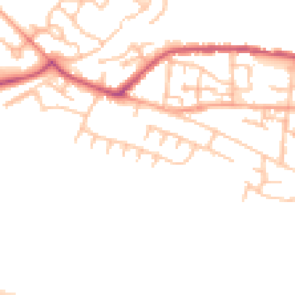
Daytime· 07:00 – 23:00
47.5dB

Everything within walking distance
Schools, transport stops and scenic spots near this property — 41 points of interest in total.
Beautiful places to visit nearby
Curated scenic spots within reach of this postcode, served by Beautifulplaces.ai. Photography and tagging come from their open dataset.
Common questions
The questions buyers, sellers and homeowners most often ask about 23 Ashbourne Drive, Newcastle, ST5 6RL. Each answer is also embedded as structured data for search engines.