Are you a property professional?Get qualified leads from motivated homeowners.
Get started17 Blairgowie Close, Grantham, NG31 9FJ
3 sales on record
About 17 Blairgowie Close
A plain-English summary derived from public records, EPC certificates, sold prices and local data.
17 Blairgowie Close is a four-bedroom detached house in Grantham (NG31 9FJ). It has a recorded floor area of 117 m² (around 1259 sq ft), construction records dating it to 2003-2006 and council tax band D. The latest certificate (July 2021) shows a C (score 74). The rating has held steady at C across 2 certificates since July 2010. Between certificates, lighting went from Average to Very Good; while hot-water efficiency dropped from Very Good to Good and main heating dropped from Very Good to Good. The recommended improvements would push it to B (score 84). Other recorded features include a conservatory.
Sale prices here have outpaced England HPI: 2.1% per year against 0% for the wider region. Today's modelled estimate of £325,000 is 13.4% above the 2021 sale price. On a £-per-square-foot basis, the last sale (£227/sq ft) was about 46.4% above the typical sold price in the postcode. At 117 m² it's 19.5% larger than the typical home in the postcode (98 m² median across 11 EPCs). 2 planning records sit against the property, 0 approved, 0 refused. Last sale on file: £286,500 in November 2021. That sale was during the post-pandemic price surge, when transactions cleared materially above pre-2020 trend.
What this property has
Pulled from EPC certificates, claim submissions and our property model. Empty categories are hidden — we only show what's known.
Inside
- Bedrooms4
- Dining roomYes
- EnsuiteYes
- ConservatoryYes
Energy performance
Every EPC certificate filed against this property — current rating, recorded improvements, and where there's headroom to reach a higher band.
Current Certificate(1 of 2)
Jul 2021
EPC Rating
A
B
C
C74
D
E
F
G
Main Heating
Gas
Main Fuel
Gas
Hot Water
Good
Windows
Good
CO2 Emissions
3.2 t/year
Occupancy
Owner Occupied
Planning history
Applications and permits filed against 17 Blairgowie Close, Grantham, NG31 9FJ, sourced from the PlanIt planning register.
Planning history at 17 Blairgowie Close is exclusively tree-management applications — typical for a property with mature trees on or near the plot.
- Aug 2020Tree WorksTreesGranted
Oak (T1 on site plan) - Fell
Sales history & valuation
Recorded transactions, our model's current estimate, and a quick read on what neighbouring properties have sold for.
Latest sale on 17 Blairgowie Close was the highest on Land Registry record across the postcode.
Current estimate
See how we calculated this£325,000
Modelled from EPC, postcode comparables and a sale-price growth of 2.1% per year over 16 years.
Last sold (2021)
£286,500
Growth on file: 2.1% per year over 16 years.
Sales timeline
Versus other Blairgowie Close homes
Four headline reads against 11 similar houses on this street, drawn from the latest EPC and Land Registry data.
On habitable rooms, 17 Blairgowie Close stands well clear of the street.
Price per m²
£2,449
Street avg £1,815
Floor Area
117 m²
Street avg 98 m²
Habitable Rooms
7 rooms
Similar properties nearby
A handful of close matches in the same postcode area, ranked by likeness on bedrooms, type and floor area.
The neighbourhood at a glance
A condensed read of the local area. Each tile links through to the full breakdown on the Grantham district page.
Daytime road noise here sits well below conversation level — a quiet pocket of the postcode.
Crime
8/mo
Steady year-on-year across the wider district.
Nearest stop
0.1 km
Road noise across the postcode
Modelled day and night-time noise levels around NG31 9FJ from Defra's strategic mapping. The pin marks this postcode's centroid.
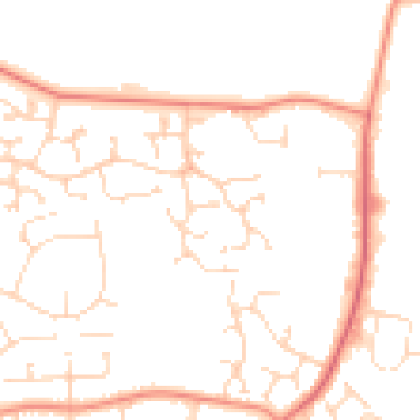
Daytime· 07:00 – 23:00
48.3dB

Everything within walking distance
Schools, transport stops and scenic spots near this property — 42 points of interest in total.
Beautiful places to visit nearby
Curated scenic spots within reach of this postcode, served by Beautifulplaces.ai. Photography and tagging come from their open dataset.
Common questions
The questions buyers, sellers and homeowners most often ask about 17 Blairgowie Close, Grantham, NG31 9FJ. Each answer is also embedded as structured data for search engines.