Are you a property professional?Get qualified leads from motivated homeowners.
Get started19 Common Lane, New Haw, Addlestone, KT15 3LJ
4 sales on record
About 19 Common Lane
A plain-English summary derived from public records, EPC certificates, sold prices and local data.
19 Common Lane is a two-bedroom semi-detached house in New Haw, Addlestone, Addlestone (KT15 3LJ). It has a recorded floor area of 73 m² (around 790 sq ft), construction records dating it to 1900-1929 and council tax band D. The latest certificate (December 2008) shows an E (score 47), well below the UK norm with real room to improve. The latest certificate is from December 2008, so improvements made since then won't be reflected.
It hasn't traded since February 2009, a hold of 17 years that's notably long for the area. Across the public record there are 4 sales, relatively high churn for a single property. That sale fell during the post-crash dip, which often skews comparisons against later neighbouring sales. Sale prices here have outpaced England HPI: 8.2% per year against 0% for the wider region. Today's modelled estimate of £361,000 sits 100.6% above the 2009 sale of £179,950. One planning record on file: an extension approved in 2011. Past consents include an extension, meaningful when judging how the property has evolved. At 73 m² it's 28.7% smaller than the typical home in the postcode (103 m² median across 27 EPCs). It lags the bulk of the postcode on energy efficiency (less efficient than 89% of similar EPCs).
What this property has
Pulled from EPC certificates, claim submissions and our property model. Empty categories are hidden — we only show what's known.
Inside
- Bedrooms2
Energy performance
Every EPC certificate filed against this property — current rating, recorded improvements, and where there's headroom to reach a higher band.
19 Common Lane's EPC is over a decade old — improvements since won't be reflected.
EPC Expired
This certificate is over 10 years old and is no longer valid.Expired 07 Dec 2018
Planning history
Applications and permits filed against 19 Common Lane, New Haw, Addlestone, KT15 3LJ, sourced from the PlanIt planning register.
19 Common Lane has an approved single-storey side and rear extension on the planning record.
- May 2011ExtensionGrant Consent - subject to conditions
Extension: Single storey · Side and rear of property
Erection of single storey side and rear extension
Sales history & valuation
Recorded transactions, our model's current estimate, and a quick read on what neighbouring properties have sold for.
Sale price has at least doubled since 1997.
Current estimate
See how we calculated this£361,000
Modelled from EPC, postcode comparables and a sale-price growth of 8.2% per year over 11 years.
Last sold (2009)
£179,950
Growth on file: 8.2% per year over 11 years.
Sales timeline
Versus other Common Lane homes
Four headline reads against 27 similar houses on this street, drawn from the latest EPC and Land Registry data.
EPC Rating for 19 Common Lane lags the street by a wide margin.
Price per m²
£2,452
Street avg £3,788
Floor Area
73 m²
Street avg 124 m²
Habitable Rooms
5 rooms
Street avg 5 rooms
Similar properties nearby
A handful of close matches in the same postcode area, ranked by likeness on bedrooms, type and floor area.
The neighbourhood at a glance
A condensed read of the local area. Each tile links through to the full breakdown on the Addlestone district page.
Rail-style transport is unusually close for this postcode.
Crime
3/mo
Steady year-on-year across the wider district.
Nearest stop
0.1 km
Marshall Place — bus stop.
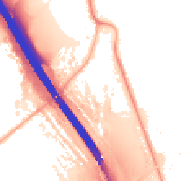
Road noise across the postcode
Modelled day and night-time noise levels around KT15 3LJ from Defra's strategic mapping. The pin marks this postcode's centroid.

Daytime· 07:00 – 23:00
61.0dB
Everything within walking distance
Schools, transport stops and scenic spots near this property — 49 points of interest in total.
Beautiful places to visit nearby
Curated scenic spots within reach of this postcode, served by Beautifulplaces.ai. Photography and tagging come from their open dataset.
Common questions
The questions buyers, sellers and homeowners most often ask about 19 Common Lane, New Haw, Addlestone, KT15 3LJ. Each answer is also embedded as structured data for search engines.