Are you a property professional?Get qualified leads from motivated homeowners.
Get started7 Carlton Road, Romford, RM2 5AA
5 sales on record1 planning record
About 7 Carlton Road
A plain-English summary derived from public records, EPC certificates, sold prices and local data.
7 Carlton Road is a one-bedroom property in Romford (RM2 5AA). It has a recorded floor area of 46 m² (around 493 sq ft), construction records dating it to 1930-1949 and council tax band C. At 46 m² this is the 3rd smallest of 19 units on EPC record in the building, where floor areas span 36–108 m². The building's EPC ratings span E to C across 19 units on file. The latest certificate (May 2010) shows a D (score 63), on the cusp of jumping into the C band. The recommended improvements would push it to C (score 70). The latest certificate is from May 2010, so improvements made since then won't be reflected.
Sale prices here have outpaced England HPI: 8.4% per year against 0% for the wider region. Today's modelled estimate of £260,000 is 18.2% above the 2017 sale price. On a £-per-square-foot basis, the last sale (£447/sq ft) was about 68.6% above the typical sold price in the postcode. On the market in December 2017 and unlisted since — roughly 8 years. Across the public record there are 5 sales, relatively high churn for a single property. At 46 m² it's 27.9% smaller than the typical home in the postcode (64 m² median across 18 EPCs). 1 bedrooms is on the smaller side for this postcode, where 3 is the typical count. One historical planning record sits against the property in 2017.
What this property has
Pulled from EPC certificates, claim submissions and our property model. Empty categories are hidden — we only show what's known.
Inside
- Bedrooms1
- CloakroomYes
Outside
- Private gardenrear
- Parking
Energy performance
Every EPC certificate filed against this property — current rating, recorded improvements, and where there's headroom to reach a higher band.
7 Carlton Road's EPC is over a decade old — improvements since won't be reflected.
EPC Expired
This certificate is over 10 years old and is no longer valid.Expired 11 May 2020
Planning history
Applications and permits filed against 7 Carlton Road, Romford, RM2 5AA, sourced from the PlanIt planning register.
- Aug 2017ExtensionFullPending
Extension: Rear of property
Proposed rear ground floor extension, and alterations to existing flat.
Sales history & valuation
Recorded transactions, our model's current estimate, and a quick read on what neighbouring properties have sold for.
7 Carlton Road has more than quadrupled in price since its earliest registered sale in 1997.
Current estimate
See how we calculated this£260,000
Modelled from EPC, postcode comparables and a sale-price growth of 8.4% per year over 21 years.
Last sold (2017)
£220,000
Growth on file: 8.4% per year over 21 years.
Sales timeline
Versus other Carlton Road homes
Four headline reads against 14 similar flats on this street, drawn from the latest EPC and Land Registry data.
7 Carlton Road is notably below the street on floor area.
Price per m²
£4,808
Street avg £3,489
Floor Area
46 m²
Street avg 59 m²
Habitable Rooms
2 rooms
Street avg 3 rooms
Similar properties nearby
A handful of close matches in the same postcode area, ranked by likeness on bedrooms, type and floor area.
The neighbourhood at a glance
A condensed read of the local area. Each tile links through to the full breakdown on the Romford district page.
Rail-style transport is unusually close for this postcode.
Crime
3/mo
Steady year-on-year across the wider district.
Nearest stop
0.3 km
Albert Road Heath Park — bus stop.
Road noise across the postcode
Modelled day and night-time noise levels around RM2 5AA from Defra's strategic mapping. The pin marks this postcode's centroid.
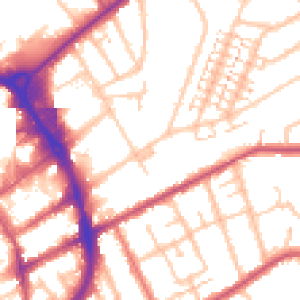
Daytime· 07:00 – 23:00
53.9dB

Everything within walking distance
Schools, transport stops and scenic spots near this property — 64 points of interest in total.
Beautiful places to visit nearby
Curated scenic spots within reach of this postcode, served by Beautifulplaces.ai. Photography and tagging come from their open dataset.
Common questions
The questions buyers, sellers and homeowners most often ask about 7 Carlton Road, Romford, RM2 5AA. Each answer is also embedded as structured data for search engines.